Day 01: Welcome to Uganda
Welcome to Rwanda!
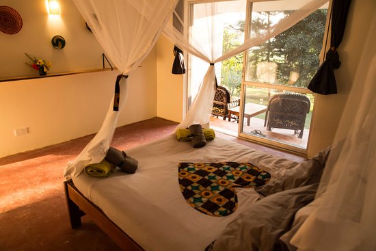
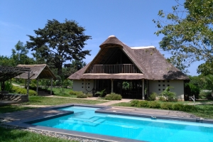
You arrive in the pleasant city of Entebbe and our team will welcome you at the airport. They will take you to your accommodation.
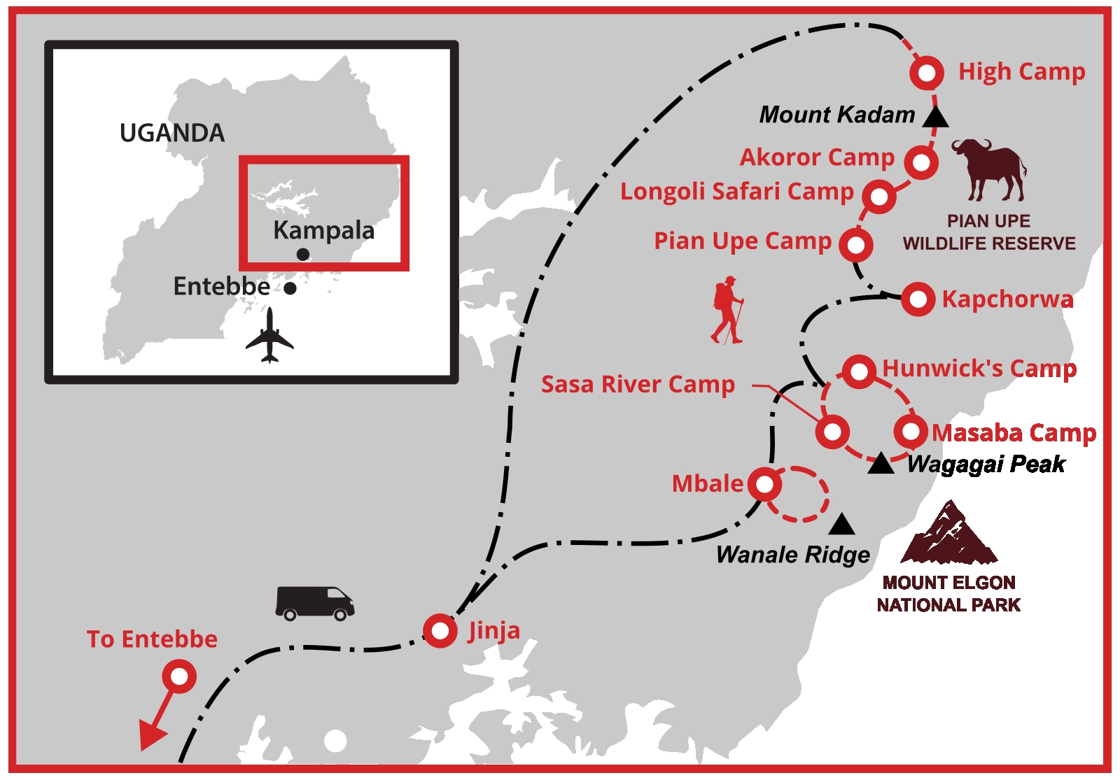
We will depart early and drive to the eastern part of Uganda, not far from the border with Kenya. It’s a great roadtrip, passing Mabira Forest, the mighty river Nile and across the many rolling tea fields. Before we arrive we can see East Africa’s oldest volcano, Mount Elgon, looming in the distance. If there is time we stretch our legs and go for a walk to the impressive Wanale Waterfall, which plunges down the iconic Wanale Ridge high above the city of Mbale.
Hiking
| Toughness |
|
Distance |
4km |
| Technicality |
|
Elevation |
+220m/-220m |
Day 03: Hiking Mount Elgon to Hunwick’s Camp
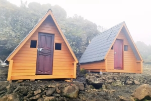
From here it is a steady walk up to the park boundary directly below the 61m Nabunyifu Falls (meaning cold wind) flanked by sheer cliffs. The trail ascends in switchbacks to make it easier and offer excellent views of the community below and distant mountains. This section is a completely new trail which has never been accessible to tourists before and a great addition to the Elgon National Park. The trail climbs steadily up the Dirigana Valley through the montane forest with huge Podacarpus trees and thick vegetation to where you cross the river and stop for lunch at a shelter. From here it is a steady climb up to the Mukoola Ridge and the Hunwick’s Camp at 2,882 metres where you get fantastic views across the hills and valleys to Masaba Summit.
Hiking
| Toughness |
|
Distance |
7.5km |
| Technicality |
|
Elevation |
+1180m/-75m |
Day 04: Hike to Masaba camp
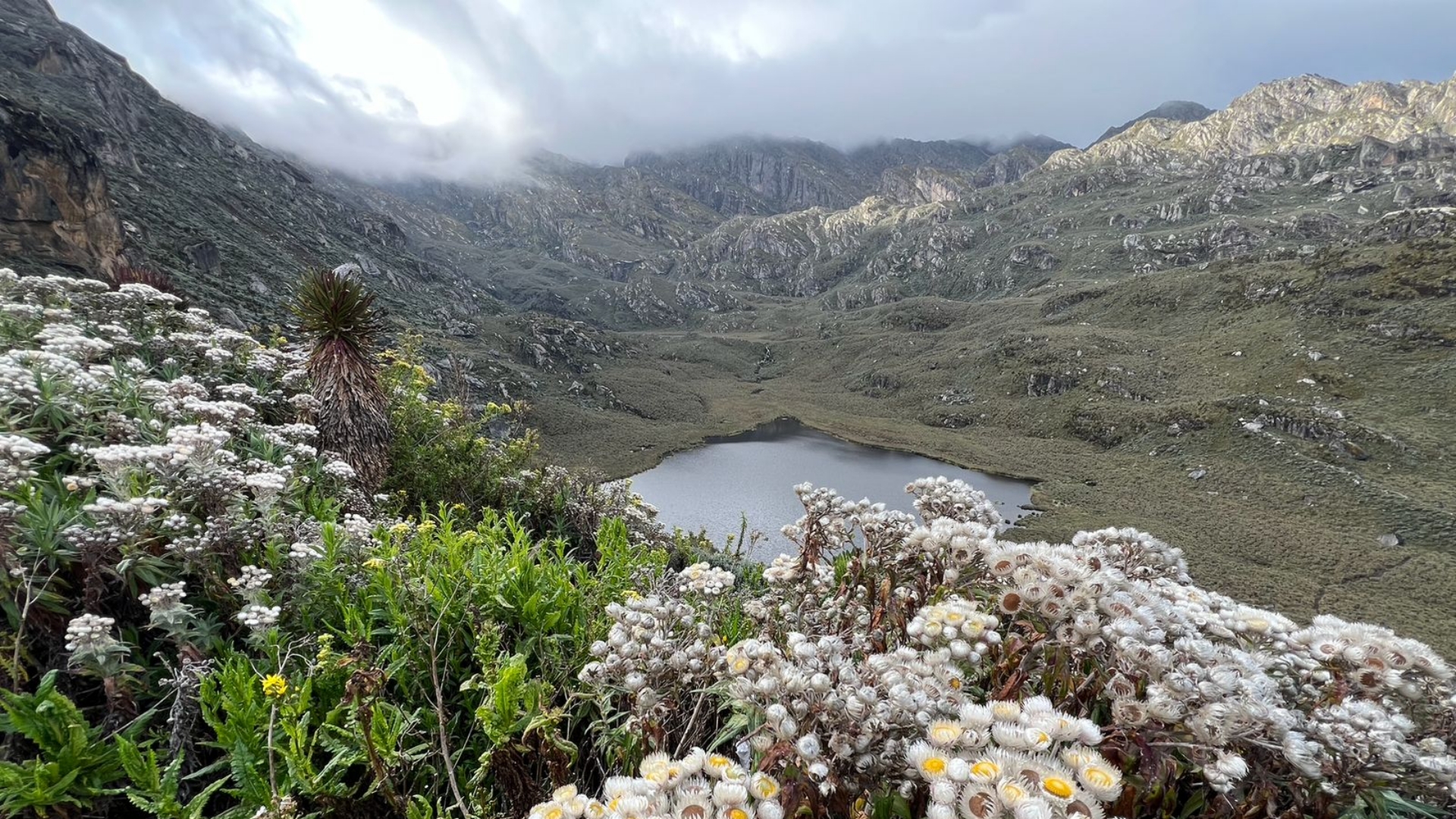
Together with Uganda Wildlife Authority, our local outfitter will be implementing a programme to propagate the indigenous bamboo and replant the affected areas so future generations will be able to enjoy the beauty of the bamboo. At around 3,000 metres to 3,300 metres you walk through a newly discovered giant heather zone after which continues into the moorland zone which is open high- altitude grasslands and wildflowers with scattered areas of giant heather and rolling hills. We take a short break at a rest point in the upper levels of the moorland zone before walking the last two kilometres to Masaba Camp at 3,745 metres. You get excellent views from Masaba Camp across the high-altitude grasslands, the stunning forests and foothills. At night, you see the lights of Mbale City in the distance.
After a short rest you may decide to climb 1.2 km to the top of the Masaba Table which is flat rock with vertical cliffs all around averaging 70 to 90 metres above the surrounding moorland grasses studded with the giant lobelia and groundsel plants. Masaba Table is one huge rock 700 metres long and 200 metres wide and sits at an average altitude of 4,000 m above sea level and offers exceptional views
Hiking
| Toughness |
|
Distance |
7.3km |
| Technicality |
|
Elevation |
+990m/-65m |
Day 05: Hike to Ssasa River Camp
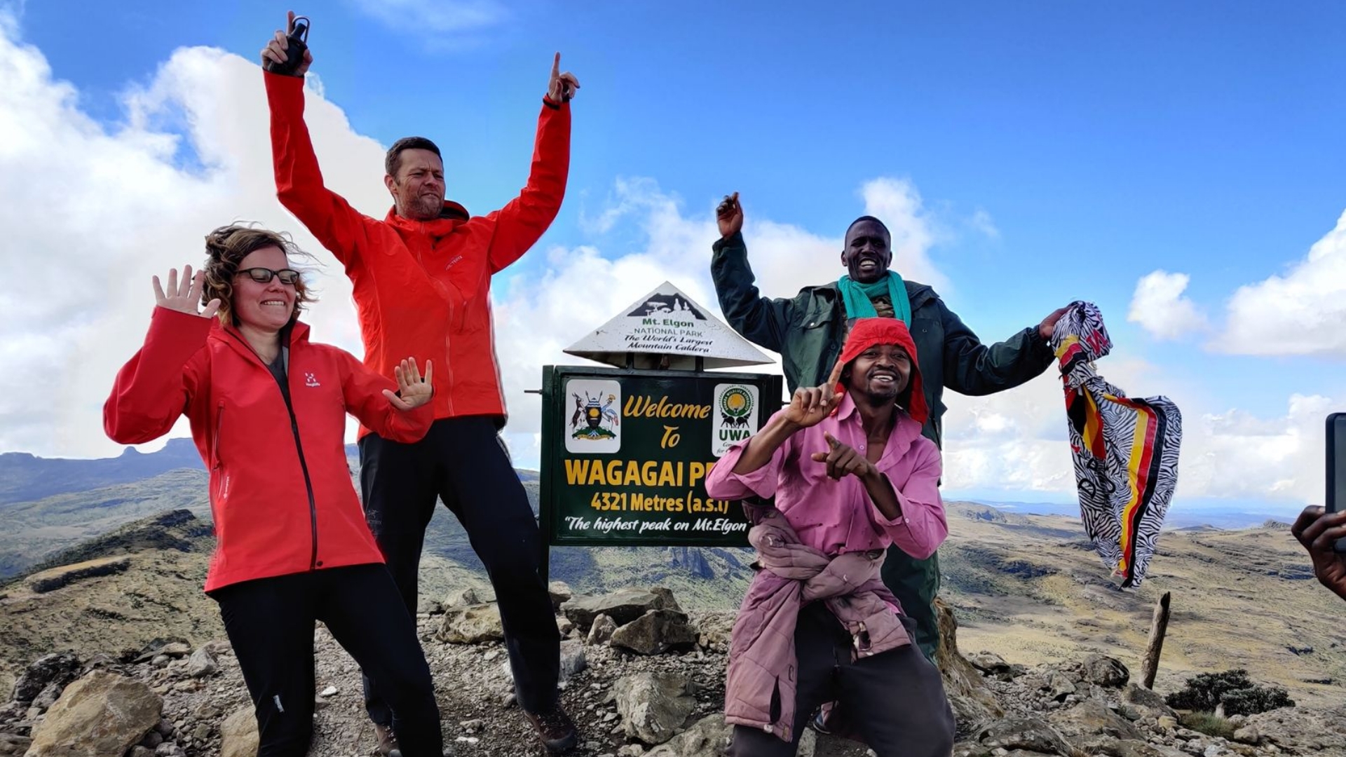
We continue the climb to the crater rim and peer into one of the largest calderas in the world, surrounded by 4000m+ peaks. The opposite side is Kenya. It’s a mellow climb to the summit of Wagagai Peak, but it can be very cold, especially when the wind picks up. The crumbled summit used to be much higher and it is thought to be higher than the current altitude of Kilimanjaro. It may have been the biggest mountain in Africa!
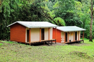
You descend partly via the same route. When you have passed Masaba Peak you head down to Jackson’s Pool, a small pond fringed by giant lobelia. The gradual descent continues to Mude Camp, sheltered by trees. If the group is tired we can set up camp here. It is an easy 2 hours further down to the wonderful renovated Sasa River Camp, where you can sleep in thicker air again.
Hiking
| Toughness |
|
Distance |
22km |
| Technicality |
|
Elevation |
+680m/-1565m |
Day 06: Final day on Mount Elgon
We drive to the northern side of Elgon and stay in the beautiful village of Sipi Falls. Here we can enjoy a lush meal and warm shower and huddle around the camp fire sharing our experiences of our Elgon trek.
Hiking
| Toughness |
|
Distance |
8km |
| Technicality |
|
Elevation |
+65m/-1165m |
Day 07: Drive to Pian Upe Wildlife Reserve
Day 08: Hike across Pian Upe Wildlife Reserve
Hiking
| Toughness |
|
Distance |
10km |
| Technicality |
|
Elevation |
+50m/-30m |
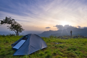
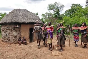
Today we contour the foot of Mount Kadam with magnificent views over Pian Upe and still lots of opportunities to see wildlife. Although the hike itself is rather flat, underfoot it may be challenging with rocks and vegetation. We walk towards the settlement of Akoror, where the Pokhot people live. They live a pastoral life and have deep respect for the environment. We set up our tents here and listen to stories about living in this remote wild part of Uganda.
Hiking
| Toughness |
|
Distance |
17km |
| Technicality |
|
Elevation |
++170m/ -50m |
Day 10: Hike to summit Mount Kadam and descent to high camp
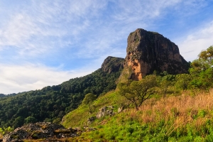
After enjoying the summit we descend in a northerly direction to our fantastic camp spot on a broad ledge.
Hiking
| Toughness |
|
Distance |
16km |
| Technicality |
|
Elevation |
+1450m/-675m |
Day 11: Hike to Nakapiriprit and drive to Jinja
Hiking
| Toughness |
|
Distance |
8km |
| Technicality |
|
Eleveation |
+0m/-810m |
Day 12: Raft the Nile and drive back to Entebbe and fly out
An afternoon drive takes us back to the city of Entebbe. This is where the trip ends. Most flights connecting with Europe depart around midnight.